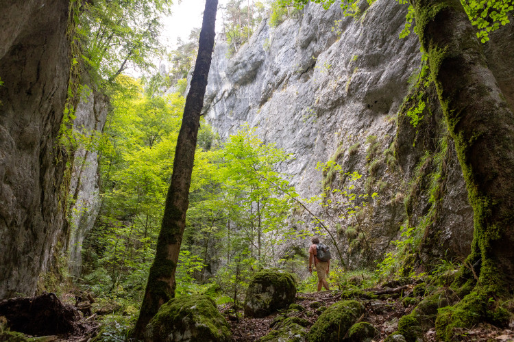
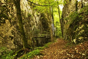
Wolfsschlucht
Wolfsschlucht (gorge of the wolf) is a cantonal nature reserve and demonstrate...
Natural landscape / HabitatWaters
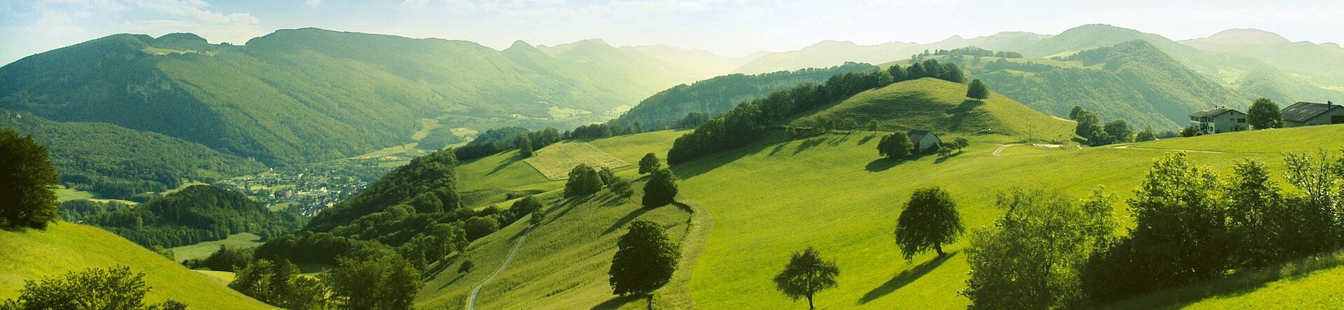
Hiking the Jura landscape of the Thal region is simply a pleasure. Experience nature and landscape in peace and quiet, and breath in the fresh air. The Naturpark Thal offers a wonderful mix of small and cozy villages, cultivated fields and pastures, and plenty of almost untouched wilderness.
We recommend a variety of theme trails and hiking routes for every occasion and fitness level. They will take you to the most beautiful places in the park!
Please show conisderation for each other and the natural environment
The natural wilderness of Naturpark Thal is a recreational space that we share with the plants and animals which live there. The less we disturb their habitats, the better. Therefore, we ask you to follow some basic rules during your excursion:
We offer you a selection of hiking trails with descriptions in English. For more hiking routes please visit our German-language website.
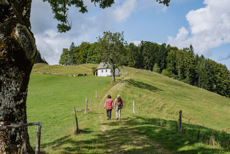
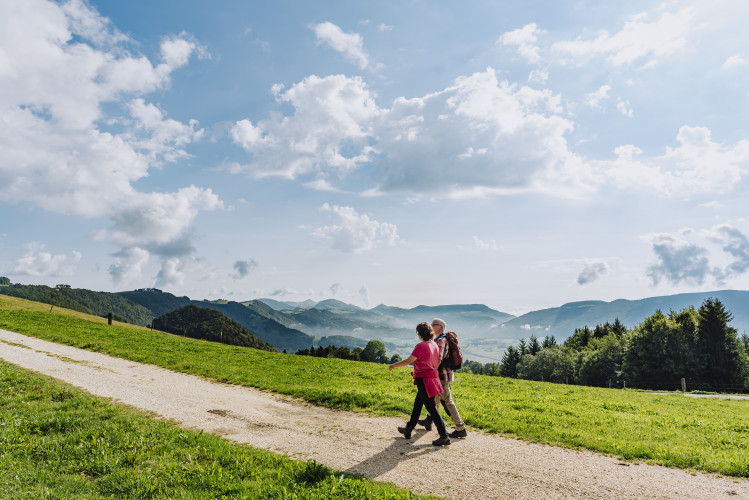
This tour reveals the different aspects of the Thal Nature Park. From Welschenrohr, the route leads to the beautiful and wildly romantic Wolf Gorge, through which you ascend to continue hiking in the lofty heights of the second Jura chain.
The starting point for this walking is in the village of Welschenrohr. The Wolf Gorge is a cantonal forest reserve and demonstrates the tremendous powers of Mother Nature. Between high and partially over-hanging rocky cliffs, the trail winds upwards through the narrow, wildly romantic gorge with its caves and erosions.
At the end of the climb, you leave the Wolf Gorge through a narrow passage. Continuing over lush Jura pastures, the trail goes via Tannmatt to Mieschegg and then to Hinter Brandberg. The view of the other side of the valley offers tantalising glimpses of one of the largest uninterrupted woodland regions of Switzerland. Dropping down to Welschenrohr, the route passes through a lynx reserve.
We recommend getting to Wolfsschlucht by public transport. The Herbetswil Wolfsschlucht bus stop is located directly at the entrance.
In the village centre of Herbetswil there are signposted parking spaces. From there the path to the Wolfschlucht is also marked.
Further parking facilities are available in Welschenrohr.
The Wolfschlucht is a cantonal nature reserve. Please observe the cantonal regulations (regarding fire, dogs. . . ) and the corresponding markings on site.
In wet weather, very good footwear is recommended, as it can be slippery.
All season
Wolfsschlucht (gorge of the wolf) is a cantonal nature reserve and demonstrate...
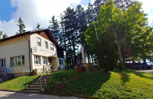
Visit the Bergwirtschaft after hiking to the Wolfsschlucht
The Gasthof Kreuz is run by the fourth generation of the Läuffer family. Moder...